Almost Realtime Live Data Visualization in QGIS (Air Traffic Use Case)
DRANK
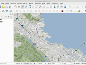
When working in a GIS software like QGIS, mostly we are working with static data like street, building, land cover, etc. Or might be a data which has time information so we can visualize the temporal change. What about visualize live data in almost real time? Do we need a GIS server, cloud or map service? I think this is an interesting topic, and I will discuss about it in this post with live air traffic data use case.In the previous post, I made a tutorialhow to build a flight tracking application with open air traffic data in Python. The application is running in a web browser and the flight data will be updated in a specified time interval. In this tutorial we will do the same thing in QGIS. We will visualize the air traffic live data on QGIS map canvas and get the update data in every five or ten seconds. At the end of this tutorial we will get an almost realtime airplanes' location within an area as in figure 1 below.Figure 1. Air Traffic Live Data in QGIS. Airplanes are queueing…